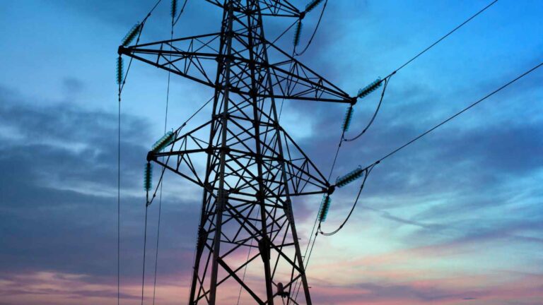
Managing vast infrastructure networks is one of the biggest challenges utilities face. GIS for utilities has transformed how companies oversee transmission and distribution lines, which stretch across thousands of miles, cutting through forests, farmlands, urban centers, and industrial zones. Every mile presents regulatory requirements, land ownership considerations, and environmental constraints, making accurate, real-time data essential for efficient operations.
Surveying and right-of-way (ROW) management have long been core functions of utility operations, ensuring that infrastructure is properly placed, maintained, and accessible. But for decades, these processes relied on static maps, paper records, and manual inspections—methods that struggle to keep up with the speed and complexity of modern utility demands.
That’s why GIS for utilities is no longer optional—it’s essential. More than just mapping, GIS turns spatial data into real-time, actionable intelligence, allowing utilities to track land use, manage ROW compliance, and optimize asset management with a level of precision that was previously impossible.
The days of relying solely on field notes and scattered data sources are gone. Utilities that integrate GIS into their surveying and right-of-way operations are operating smarter, faster, and with fewer costly setbacks.
Why Traditional Surveying and ROW Management Fall Short
Historically, utilities managed surveying and ROW issues through a combination of ground surveys, aerial photographs, and property records stored in different databases or even physical files. The process was slow, fragmented, and prone to errors. Updating infrastructure maps required sending survey crews into the field, manually verifying data, and reconciling conflicting records—a process that could take weeks or months.
When utilities expand infrastructure—building new transmission lines, upgrading substations, or rerouting cables—the stakes are even higher. Any inaccuracy in land records or ROW boundaries can lead to project delays, legal disputes, and costly modifications.
Without a dynamic, centralized system for managing survey data, utilities are forced into reactive problem-solving rather than proactive planning. That’s where GIS transforms the entire process.
How GIS is Transforming Utility Surveying & ROW Management
GIS doesn’t just store data—it allows utilities to visualize, analyze, and act on it in real time. Every piece of land a utility operates on can be digitally mapped with layers of topographical, environmental, and regulatory data overlaid for instant decision-making.
Instead of relying on disconnected sources of information, GIS creates a single, integrated system where utilities can see the full picture at any given moment.
- Surveying teams can access live property boundaries, easements, and land-use classifications.
- ROW managers can track encroachments, identify vegetation risks, and update permits instantly.
- Planners can overlay infrastructure maps with environmental restrictions, ensuring compliance before work begins.
With GIS-powered surveying, utilities are no longer reacting to issues as they arise—they are anticipating them, planning accordingly, and reducing risks before they become costly setbacks.
In one case, Think Power Solutions helped a utility streamline their ROW management using GIS, eliminating redundant field visits and cutting project planning time by a huge margin. Instead of manually cross-referencing property deeds, survey maps, and environmental assessments, the utility’s teams were able to see everything in one place—digitally, in real time.
Beyond Mapping: The Bigger Benefits of GIS for Utilities
At its core, GIS is about efficiency. By digitizing and automating critical surveying and ROW processes, utilities gain a level of control that was previously impossible.
Utilities that leverage GIS for surveying and ROW management experience:
- Faster project approvals and fewer delays – With real-time land data, utilities can resolve ROW disputes and permitting issues before they stall a project.
- Improved regulatory compliance – GIS allows utilities to track and manage environmental and zoning regulations to avoid costly violations.
- Enhanced vegetation management – ROW teams can monitor tree growth and encroachments remotely, reducing the risk of outages and wildfire hazards.
- Stronger asset tracking – Every pole, transformer, and line segment can be mapped in detail, allowing for smarter maintenance planning and resource allocation.
Utilities that still rely on outdated, paper-based ROW systems are at a serious disadvantage—not just in operational efficiency, but in cost management, regulatory compliance, and risk mitigation.
Why GIS is No Longer a ‘Nice-to-Have’—It’s a Utility Essential
The modern grid is evolving. Expanding transmission networks, renewable energy integration, and increasing regulatory pressures mean that utilities can’t afford to work with outdated survey and ROW management methods.
GIS doesn’t just speed up these processes—it fundamentally changes how utilities approach infrastructure management. With a fully digitized, geospatially-driven workflow, utilities can plan, build, and maintain their networks with unmatched accuracy and foresight.
The real question isn’t if GIS will become the industry standard—it already is. The question is whether your utility is ready to take full advantage of it.
Final Thoughts: Smarter Surveying, Stronger Grid Reliability
At Think Power Solutions, we work with utilities to implement GIS-driven surveying and ROW management strategies that reduce costs, improve compliance, and optimize asset performance.
For utilities that want to stay ahead, the time to modernize surveying and ROW management isn’t in the future—it’s right now.
The next expansion project, the next compliance audit, the next vegetation-related outage—they’re all easier to manage with GIS.
Does your utility have the geospatial intelligence needed to operate at full efficiency?