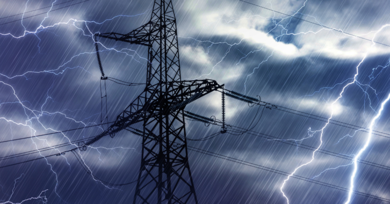
Imagine a utility company facing the aftermath of a fierce storm. Power lines are down, customers are in the dark, and crews are scrambling with outdated maps and manual coordination. It’s a logistical nightmare—every wasted minute means greater disruption, higher costs, and frustrated customers.
Now, picture the same scenario, but this time, they have Geographic Information Systems (GIS). A real-time map pinpoints every downed line and available crew, enabling teams to prioritize restoration efforts efficiently. Hospitals regain power first, crews are dispatched with precision, and what once felt like chaos turns into a coordinated, data-driven response.
This is the reality of GIS-driven decision-making. At Think Power Solutions, we’ve seen firsthand how GIS transforms utility operations—turning reactive firefighting into proactive, informed leadership. In an industry where every second counts, GIS isn’t just an upgrade; it’s a necessity.
The Struggle: Complexity Meets Opportunity
Utility companies today operate in an increasingly complex landscape. Aging infrastructure, evolving regulatory requirements, and the rapid integration of renewables are forcing leaders to rethink traditional approaches. Meanwhile, extreme weather events and rising customer expectations leave no room for inefficiency.
Relying on paper maps, siloed data, and manual processes is no longer viable. Success in today’s utility sector belongs to those who can see the full picture in real-time, anticipate challenges, and act with precision.
GIS isn’t just another software tool—it’s a game-changer that enables utilities to visualize, analyze, and predict outcomes like never before. Let’s explore how it’s reshaping every stage of utility operations.
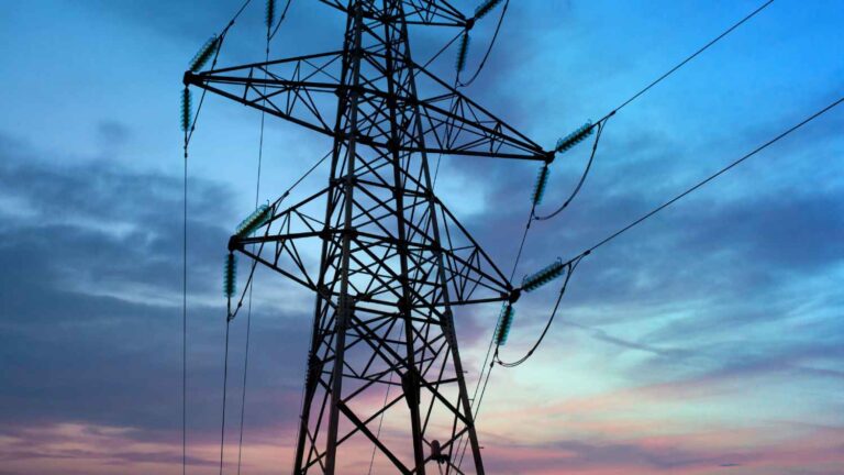
Planning and Design: Charting Smarter Paths
Planning a new transmission line without GIS is like navigating a complex project with outdated tools—you might complete it, but you’ll encounter inefficiencies, unforeseen obstacles, and increased costs. With GIS, you gain real-time insights into environmental constraints, population trends, and existing infrastructure, allowing you to optimize routing, reduce permitting delays, and future-proof your investment.
For example, GIS can flag areas with high environmental sensitivity, like wetlands or protected habitats, so you can adjust plans before they become costly mistakes. It’s not just about building smarter; it’s about building sustainably, with an eye on the long game.
Outage Management: Turning Chaos into Control
When storms hit, utilities must respond in minutes, not hours—and GIS makes that possible. Instead of relying on phone calls and manual reports, GIS provides a real-time visual map of outages, impacted customers, and available crews.
By overlaying data from smart meters, weather models, and historical outage patterns, utilities can:
- Prioritize critical locations like hospitals and emergency services
- Direct crews efficiently to minimize downtime
- Share live outage updates with customers for greater transparency
The result? Faster recovery, reduced operational costs, and improved customer trust.
Compliance: Navigating the Regulatory Maze
Utilities live in a world of rules—from environmental protections to safety standards. GIS makes compliance less of a headache by mapping regulatory boundaries, tracking sensitive areas, and automating reporting. Imagine knowing, at a glance, whether a new project crosses into a restricted zone or impacts a protected habitat. That’s GIS at work—turning a tangled web of regulations into a clear path forward.
It’s proactive, not reactive. Instead of scrambling to fix violations, you’re staying ahead of them, saving time, money, and reputation.
Emergency Response: Leading in Crisis
When disaster strikes—be it a wildfire, flood, or hurricane—GIS is your command center. It tracks the threat in real-time, predicts its impact on your network, and helps you coordinate with emergency agencies. For instance, in wildfire-prone areas, GIS can model fire spread, identify at-risk assets, and guide preemptive shutoffs to prevent further damage.
This isn’t just about protecting infrastructure; it’s about safeguarding communities. With GIS, you’re not just responding to crises—you’re anticipating them, making decisions that save lives and livelihoods.
Asset Management: Maximizing What You’ve Got
GIS enables utilities to map the age, condition, and performance of every asset in their network, from transformers to substations. This allows for:
- Predictive maintenance—fixing equipment before it fails
- Optimized resource allocation—prioritizing high-risk assets
- Extended asset lifespan—reducing capital expenditure
With GIS, utilities move from a reactive maintenance model to a strategic asset management approach—one that cuts costs while improving reliability.
Customer Service: Delivering More Than Power
In today’s world, customers expect more than just electricity—they expect transparency, responsiveness, and care. GIS delivers that by helping you locate issues faster, optimize technician routes, and communicate clearly. When a customer calls about an outage, you can pinpoint their location, assess the situation, and give them a real-time update. It’s service that feels personal, even at scale.
And with interactive maps on your website, customers can explore outages, planned maintenance, or upgrades in their area. It’s a simple way to turn frustration into trust, showing them you’re on top of things.
The Payoff: A Future-Ready Utility
GIS is more than a technology investment—it’s a strategic shift that transforms how utilities operate. By moving from reactive to proactive, utilities can navigate the challenges of today while preparing for the demands of tomorrow.
At Think Power Solutions, we help utilities harness the full power of GIS—turning raw data into actionable insights, and insights into results. Whether it’s improving response times, enhancing compliance, or optimizing asset management, our team is here to drive real-world impact.
Ready to move beyond guesswork and lead with clarity? Let’s talk about how GIS can take your operations to the next level.